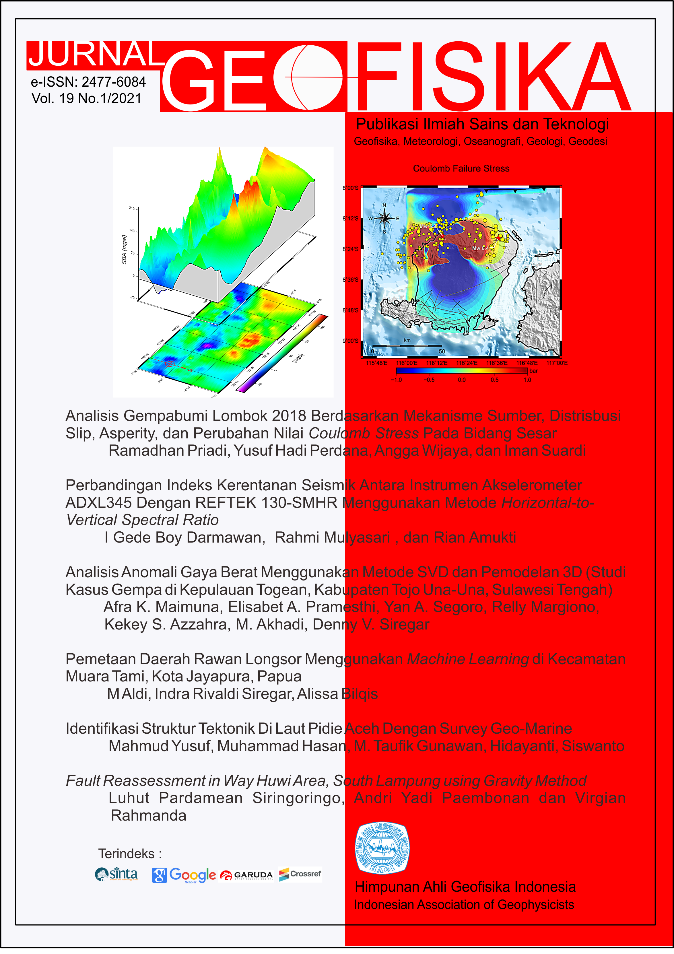
Fault Reassessment in Way Huwi Area, South Lampung using Gravity Method
Keywords
panjang fault, Way Huwi, South Lampung, GravityAbstract
The Age majority of regional geological maps that have been referenced by geologists in Indonesia are about 20-30 years old. One of them is Tanjung Karang Geological Map. Our opinion is that the map is old enough. Some faults features are doubted in the aspect of existence and its trend. It is represented by the dashed line symbol in the maps. Therefore, this research was carried out to provide a more detailed reinterpretation of faults in the Way Huwi area using the Gravity method. This area was selected because it is the new education center and economy in the eastern part of Bandar Lampung. This research was also carried out as part of disaster mitigation. The faults within this research area were identified with Horst-Graben type and formed before Lampung Formation was deposited. The trend of these normal faults is Northeast-Southwest. it is very different from the fault interpretation on Tanjung Karang regional geology map with the Northwest-Southeast direction. The genesis of the Way Huwi Fault is indirectly part of the extensional Sunda Strait.
References
Geological Society of London.
Bellier, O., Bellon, H., S´ebrier, M., Sutanto, & Maury, R. C. (1999, November). K–ar age of the ranau
tuffs: implications for the ranau caldera emplacement and slip-partitioning in sumatra (indonesia). Tectonophysics, 312(2-4), 347–359. Retrieved from https://
doi.org/10.1016/s0040-1951(99)00198-5 doi:
doi:10.1016/s0040-1951(99)00198-5
Bellier, O., S´ebrier, M., Pramumijoyo, S., Beaudouin, T.,
Harjono, H., Bahar, I., & Forni, O. (1997, September). Paleoseismicity and seismic hazard along the
great sumatran fault (indonesia). Journal of Geodynamics, 24(1-4), 169–183. Retrieved from https://
doi.org/10.1016/s0264-3707(96)00051-8 doi:
doi:10.1016/s0264-3707(96)00051-8
BPS. (2020). Perkembangan indikator makro sosial
ekonomi lampung triwulan i 2020 (Tech. Rep.).
Badan Pusat Statistik Provinsi Lampung (BPSStatistics of Lampung Province). Retrieved
from https://lampung.bps.go.id/publication/
2020/07/15/38f56a4c89586bdb9364a0b5/
perkembangan-indikator-makro-sosial-ekonomi
-lampung-triwulan-i-2020.html
Crow, M. J. (2005). Chapter 8 tertiary volcanicity. Geological Society, London, Memoirs, 31(1), 98–119. Retrieved from https://
doi.org/10.1144/gsl.mem.2005.031.01.08 doi:
doi:10.1144/gsl.mem.2005.031.01.08
Evariste, N. H., Genyou, L., Tabod, T. C., Joseph, K.,
Severin, N., Alain, T., & Xiaoping, K. (2014, February). Crustal structure beneath cameroon from
EGM2008. Geodesy and Geodynamics, 5(1), 1–10. Retrieved from https://doi.org/10.3724/sp.j.1246
.2014.01001 doi: doi:10.3724/sp.j.1246.2014.01001
Gasparon, M., & Varne, R. (1995, December). Sumatran granitoids and their relationship to southeast asian terranes. Tectonophysics, 251(1-4), 277–
299. Retrieved from https://doi.org/10.1016/
0040-1951(95)00083-6 doi: doi:10.1016/0040-
1951(95)00083-6
Hamilton, W. B. (1979). Tectonics of the Indonesian region
(Vol. 1078; Tech. Rep.). doi: doi:10.3133/pp1078
Jarrard, R. D. (1986). Terrane motion by strike-slip faulting of forearc slivers. Geology, 14(9), 780–783.
Lichoro, C. M., Arnason, K., & Cumming, W. (2019, ´
January). Joint interpretation of gravity and resistivity data from the northern kenya volcanic rift
zone: Structural and geothermal significance. Geothermics, 77, 139–150. Retrieved from https://doi
.org/10.1016/j.geothermics.2018.09.006 doi:
doi:10.1016/j.geothermics.2018.09.006
Mangga, S., Amirudin, A., Suwarti, T., Gafoer, S., &
Sidarto. (1993). Peta geologi lembar tanjungkarang,
sumatera. Pusat Penelitian dan Pengembangan Geologi.
McCaffrey, R. (2009, May). The tectonic framework of the sumatran subduction zone. Annual Review of Earth and Planetary Sciences,
37(1), 345–366. Retrieved from https://doi
.org/10.1146/annurev.earth.031208.100212 doi:
doi:10.1146/annurev.earth.031208.100212
Nishimura, S., Nishida, J., Yokoyama, T., & Hehuwat, F.
(1986, January). Neo-tectonics of the strait of sunda,
indonesia. Journal of Southeast Asian Earth Sciences,
1(2), 81–91. Retrieved from https://doi.org/10
.1016/0743-9547(86)90023-1 doi: doi:10.1016/0743-
9547(86)90023-1
Pramumijoyo, S., & Sebrier, M. (1991, January). Neogene
and quaternary fault kinematics around the sunda
strait area, indonesia. Journal of Southeast Asian
Earth Sciences, 6(2), 137–145. Retrieved from
https://doi.org/10.1016/0743-9547(91)90106-8
doi: doi:10.1016/0743-9547(91)90106-8
Setiadi, I., Setyanta, B., Nainggolan, T. B., & Widodo,
J. (2019, May). Delineation of sedimentary subbasin and subsurface interpretation east
java basin in the madura strait and surrounding area based on gravity data analysis. BULLETIN OF THE MARINE GEOLOGY , 34(1). Retrieved from https://doi.org/10.32693/bomg.34.1
.2019.621 doi: doi:10.32693/bomg.34.1.2019.621
Simons, W. J. F., Socquet, A., Vigny, C., Ambrosius,
B. A. C., Abu, S. H., Promthong, C., . . . Spakman, W. (2007, June). A decade of GPS in southeast asia: Resolving sundaland motion and boundaries.
Journal of Geophysical Research, 112(B6). Retrieved
from https://doi.org/10.1029/2005jb003868 doi:
doi:10.1029/2005jb003868
Telford, W. M., Telford, W., Geldart, L., & Sheriff, R. E. (1990). Applied geophysics. Cambridge university press.
Wardhana, D. D., Harjono, H., & Sudaryanto, S. (2014, May). STRUKTUR BAWAH PERMUKAAN
KOTA SEMARANG BERDASARKAN DATA GAYABERAT. Jurnal RISET Geologi dan Pertambangan, 24(1), 53. Retrieved from https:// doi.org/10.14203/risetgeotam2014.v24.81 doi:
doi:10.14203/risetgeotam2014.v24.81

This work is licensed under a Creative Commons Attribution 4.0 International License.
The copyright of all articles belongs to the authors. All other copyrights is held by the Journal