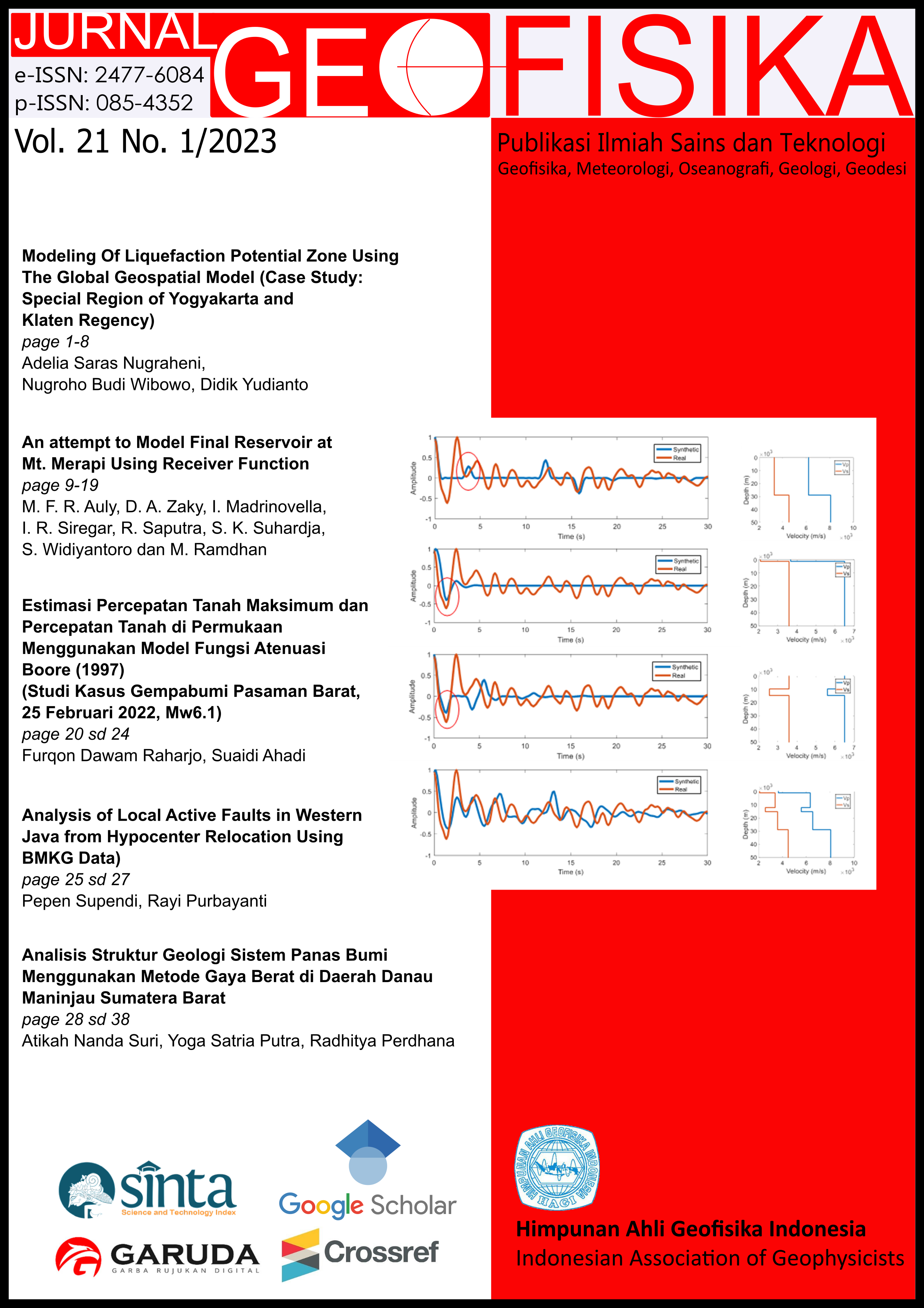
Modeling Of Liquefaction Potential Zone Using The Global Geospatial Model (Case Study: Special Region of Yogyakarta and Klaten Regency)
Keywords
Liquefaction Potential Zone, Global Geospatial Model, Vs30, PGA, CTIAbstract
Liquefaction is a subsequent disaster that occurred due to an earthquake. Liquefaction that occurred in the Special Region of Yogyakarta and Klaten district after the 2006 earthquake in the form of sand and clay material bursts, changes in groundwater levels and groundwater quality in community wells. The purpose of this study was to determine the potential zones of liquefaction based on global geospatial methods in the Special Region of Yogyakarta and Klaten districts.
The global geospatial method models the potential for liquefaction based on the parameters Vs30, PGA, and CTI. The model was validated with groundwater depth and subsurface lithology data based on microtremor data. The validation process produces a zone of potential liquefaction in the Special Region of Yogyakarta and Klaten district.
The results showed a zone with a high potential for liquefaction occurring in the southern coastal areas of Kulon Progo and Bantul. The zone is in the alluvium formation, Vs30 180 to 270 m / s, CTI 7 to 11.5, PGA 660 to 840 gal, groundwater depth 0.26 to 4.49 masl, and dominated by sand material. Zones with high potential for the occurrence of faction are also found in the fault areas of Opak Sleman and Bantul. The zone is in the formation of the younger Merapi volcano, Vs30 180 to 3.15 m/s, CTI 7 to 13.5, PGA 960 to 1140 gal, groundwater depth 0.89 to 4.7 masl, and dominated by material earth, ash, and tuff.
References
Buana, T. W. et al. 2019. Atlas Zona Kerentanan Likuifaksi Indonesia. 1st edn. Bandung: Badan Geologi Pusat Air Tanah Dan Geologi Tata Lingkungan.
Center for Research and Development of Housing and Settlements (PUPR). 2017. Peta Sumber dan Bahaya Gempa Indonesia Tahun 2017. Bandung: Pusat Penelitian dan Pengembangan Perumahan dan Pemukiman Badan Penelitian dan Pengembangan Kementerian Pekerjaan Umum dan Perumahan Rakyat.
Kumala, S. A. and Wahyudi. 2016. Analisis Nilai PGA (Peak Ground Acceleration) Untuk Seluruh Wilayah Kabupaten Dan Kota Di Jawa Timur. Inersia - Jurnal Teknik Sipil dan Arsitektur, 12(1), pp. 37–43. doi: 10.21831/inersia.v12i1.10348.
Mase, L. Z. 2014. Analisis Pendahuluan Potensi Likuifaksi di Kali Opak Imogiri Daerah Istimewa Yogyakarta 2007. Geotechnical National Seminar, pp. 145–149.
Misliniyati, R. et al. 2010. Pemetaan Potensi Likuifaksi Wilayah Pesisir Berdasarkan Data Cone Penetration Test Di Kelurahan Lempuing, Kota Bungkulu. Jurnal Inersia, 5(2), pp. 69–75.
National Standardization Agency for Indonesia (BSN). 2012. Tata Cara Perencanaan Ketahanan Gempa untuk Struktur Bangunan Gedung dan Non Gedung. Jakarta: BSN. doi: 10.1080/0893569032000131613.
Nurrahmi, Rustan, E. and Sandra. 2015. Analisis Kecepatan Gelombang Geser Vs30 Menggunakan Metode Refraksi Mikrotremor (ReMi) di Kelurahan Talise. Gravitasi, 14(1), pp. 7–12.
Rahardjo, W., Sukandarrumidi and Rosidi, H. M. 1995. Geological Map of The Yogyakarta Sheet, Java. Bandung: Pusat Penelitian dan Pengembangan Geologi.
Surono, Toha, B. and Sudarno, L. 1992. Geological Map of The Surakarta-Giritontro, Java. Bandung: Pusat Penelitian dan Pengembangan Geologi.
Ulfiana, E. et al. 2018. Analisis Pendekatan Empiris PGA (Peak Ground Acceleration) Pulau Bali Menggunakan Metode Donovan, Mc. Guirre, Dan M.V. Mickey. Jurnal Ilmu dan Inovasi Fisika, 2(2), pp. 155–161. doi: 10.24198/jiif.v2i2.19730.
Wibowo, N. B. 2019. Analisis Global Geospasial Model (GGM) Untuk Identifikasi Potensi Likuifaksi Di Kabupaten Bantul, D.I.Yogyakarta. Buletin Meteorologi Daan Geofisika, 9.
Youd, T. L. and Perkins, D. M. 1978. Mapping Liquefaction-Induced Ground Failure Potential. ASCE J Geotech Eng Div, 104(4), pp. 433–446.
Zhu, J. et al. .2015. A Geospatial Liquefaction Model for Rapid Response and Loss Estimation. Earthquake Engineering Researh Institute, 31(3), pp. 1813–1837. doi: 10.1193/121912EQS353M.

This work is licensed under a Creative Commons Attribution 4.0 International License.
The copyright of all articles belongs to the authors. All other copyrights is held by the Journal


