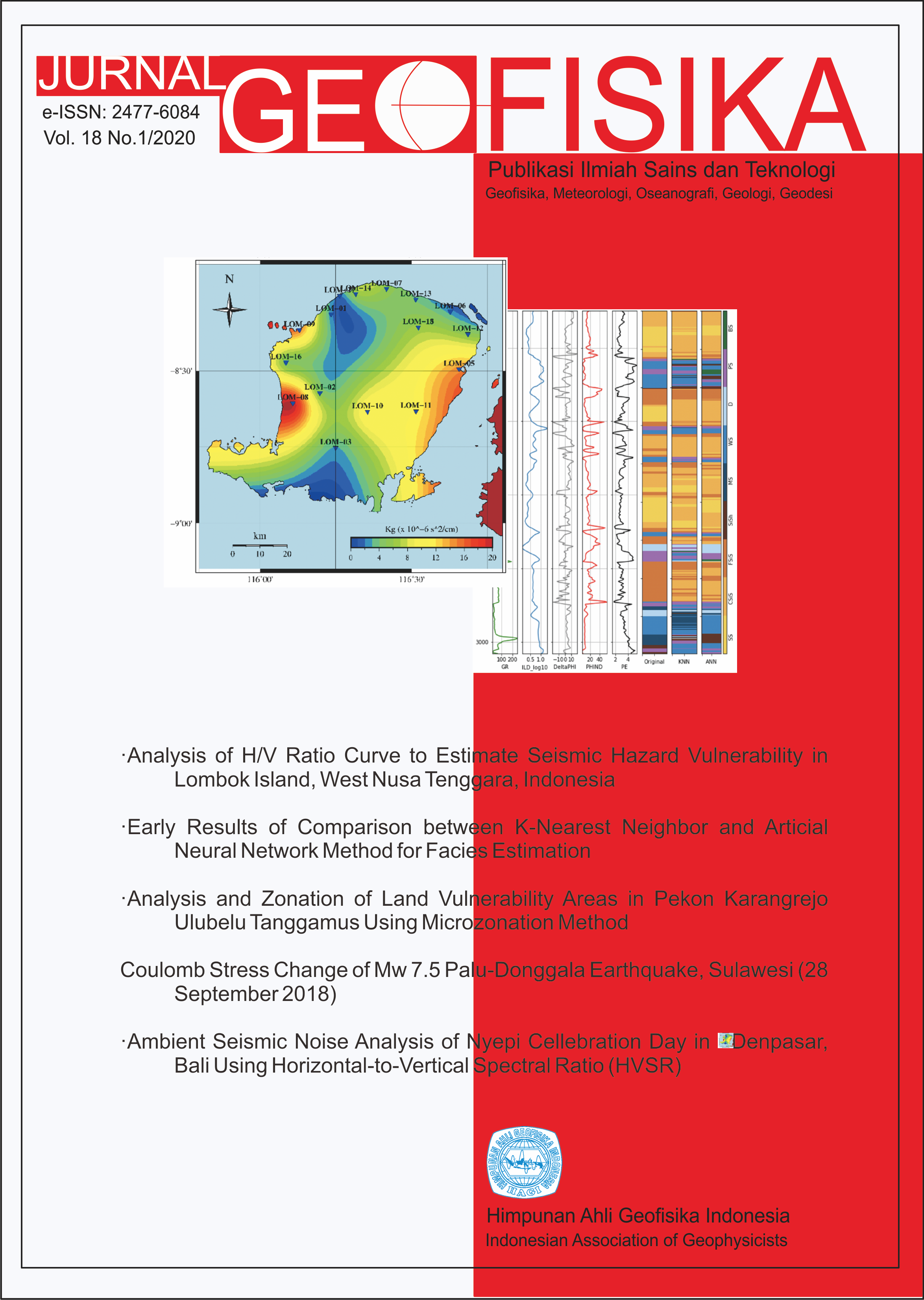
Analysis of H/V Ratio Curve to Estimate Seismic Hazard Vulnerability in Lombok Island, West Nusa Tenggara, Indonesia
Abstract
In 2018, Lombok Island was hit by a series of destructive earthquakes. According to Indonesian Meteo- rological, Climatological, and Geophysical Agency data, about 1,973 felt earthquakes (M > 3) which shaken Lombok were recorded during August 2018 with three earthquakes with the largest magnitude of 6.9 Mw, 6.8 Mw, and 6.2 Mw. National Board for Disaster Management reported about 555 deaths, 1,833 people injured, and 186,010 houses damaged as a result of Lombok earthquake on August 5th, 2018. A number of seismometers were placed on Lombok Island from August 3rd, 2018 to October 19th, 2018 to monitor the aftershock events. There are 17 stations that record seismicity in Lombok consisting of 10 broadband sensors and 7 short period sensors. In this study, we used the Horizontal-to-Vertical Spectral Ratio (HVSR) method to analyze the risk of earthquake in the Lombok region. The basic concept of this method is to do a comparison between the horizontal component spectrum and the vertical component spectrum of a wave, where theoretically the particle movement of the horizontal component is greater than the particle movement of the vertical component on soft ground, whereas on the hard ground both components (horizontal and vertical) will be similar. H/V curve obtained from earthquake record- ings (Earthquake Horizontal-to-Vertical Ratio/EHVR) and H/V curve obtained from microtremor recordings (Microtremor Horizontal-to-Vertical Ratio/MHVR) shows good agreement and high correlation. Empirical correction of EMR (Earthquake-to-Microtremor Ratio) managed to decrease the difference of estimation of predominant frequency and amplification factor between EHVR and MHVR. Predominant frequency, amplification, and seismic vulnerability map agree with the geological condition of Lombok Island, where high value of amplification and seismic vulnerability was found on soft and thick ground. This study conclude that the maximum ground acceleration and the construction of the building should also considered when one wants to investigate the effect of an earthquake to the damage occurred, beside the site effects.
References
Bard, P. (2004): Guidelines for The Implementation Of The H/V Spectral Ratio Technique On Ambient Vibrations Measurements, Processing And Interpretation, Site Effects Assessment Using Ambient Excitations (SESAME) European Research Project.
Foden, J.D., Varne, R. (1980): The Petrology and Tectonic Setting Of Quaternary{ Recent Volcanic Centres Of Lombok And Sumbawa, Sunda Arc, Chemical Geology, 30, 201-226.
Hamilton, W. (1988): Plate tectonics and island arcs, Geol. Soc. Am. Bull., 100, 1503- 1527.
Hamilton, W.B. (1979): Tectonics of the Indonesian Region, US Govt., no. 1078,
Harris, R. (2011): The nature of the Banda Arc{Continent collision in the Timor Region, In: Brown D, Ryan PD (eds) Arccontinent collision, 163{211.
Havskov, J., Ottemoeller, L. (2010): Routine Data Processing in Earthquake Seismology, Springer, United Kingdom.
Irsyam, M., Widiyantoro, S., Natawidjaja, D. H., Meilano, I., Rudyanto, A., Hidayati, S., Triyoso, W., Hanifa, N. R., Djarwadi, D., Faizal, L., dan Sunarjito. (2017): Peta Sumber dan Bahaya Gempa Indonesia Tahun 2017, Pusat Penelitian dan Pengembangan Perumahan dan Permukiman, Badan Penelitian dan Pengembangan, Kementrian Pekerjaan Umum dan Perumahan Rakyat Republik Indonesia.
Kanai, K. dan Tanaka, T. (1961): On microtremors VIII, Bulletin of Earthquake Research Institute, University of Tokyo, JAPAN, 39, 99-114.
Kawase, H., Nagashima, F., Nakano, K., dan Mori, Y. (2018): Direct evaluation of S-wave amplication factors from microtremor H/V ratios: Double empirical corrections to "Nakamura" method, Soil Dynamics and Earthquake Engineering
Konno, K. dan Ohmachi, T. (1998): Ground-Motion Characteristics Estimated from Spectral Ratio between Horizontal and Vertical Components of Microtremor, Bull. Seism. Soc. Am., 88(1), 228-241.
Kramer, S. L. (1996): Geotechnical Earthquake Engineering, Prentice-Hall, United States.
Lachet, C. dan Bard, P.Y. (1994): Numerical and Theoretical Investigations on the Possibilities and Limitations of Nakamura's Technique, J. Phys. Earth, 42, 377-397.
Mucciarelli, M. dan Monachesi, G. (1999): The bovec (slovenia) earthquake, apful 1998: preliminary quantitative association among damage, ground motion amplication and building frequencies, Journal of Earthquake Engineering, 3(3), 317-327.,
Journal of Earthquake Engineering, 3(3), 317-327. Mucciarelli, M., Gallipoli, M. R., dan Arcieri, M. (2003): The Stability of the Horizontal-to-Vertical Spectral Ratio of Triggered Noise and Earthquake Recordings, Bulletin of the Seismological Society of America, 93(3), 1407-1412.
Nakamura, Y. (1989): A Method for Dynamic Characteristics Estimation of Subsurface using Microtremor on the Ground Surface, Quarterly Report of Railway Technical Research Institute (RTRI), 30, No.1.
Nakamura, Y. (1996): Real Time Information Systems for Seismic Hazards Mitigation UrEDAS, HERAS and PIC, Quarterly Report of RTRI, 37, No. 3, 112-127.
Nakamura, Y. (1997): Seismic Vulnerability Indices for Ground and Structures Using Microtremor. World Congress on Railway Research.
Nakamura, Y. (2008): On the H/V Spectrum, The 14th World Conference on Earthquake Engineering.
Nogoshi, M. and Igarashi, T. (1971): On the Amplitude Characteristics of Microtremor, Jour. Seism. Soc. Japan, 24, 26-40.
Okada, H. (2003): The Microtremor Survey Method, SEG. Satoh, T., Kawase, H., dan Matsushima, S. (2001): Dierences Between Site Characteristics Obtained from Microtremors, S-waves, P-waves, and Codas, Bulletin of the Seismological Society of America, 91(2), 313-334.
Shearer, P. M. (2009): Introduction to Seismology (2nd edition), Cambridge University Press, United Kingdom.
Van der Wer, W. (1996): Variation in forearc basin development along the Sunda Arc, Indonesia. Journal of Southeast Asian Earth Sciences, 14(5), 331-349.
Wad, M., Sugiyanto, Pramudyo, T., dan Sarwondo. (2014): Resume Hasil Kegiatan Pemetaan Geologi Teknk Pulau Lombok Sekala 1:250.000, Pusat Sumber Daya Air Tanah dan Geologi Lingkungan, Badan Geologi, Kementrian Energi dan Sumber Daya Mineral Republik Indonesia.

This work is licensed under a Creative Commons Attribution 4.0 International License.
The copyright of all articles belongs to the authors. All other copyrights is held by the Journal