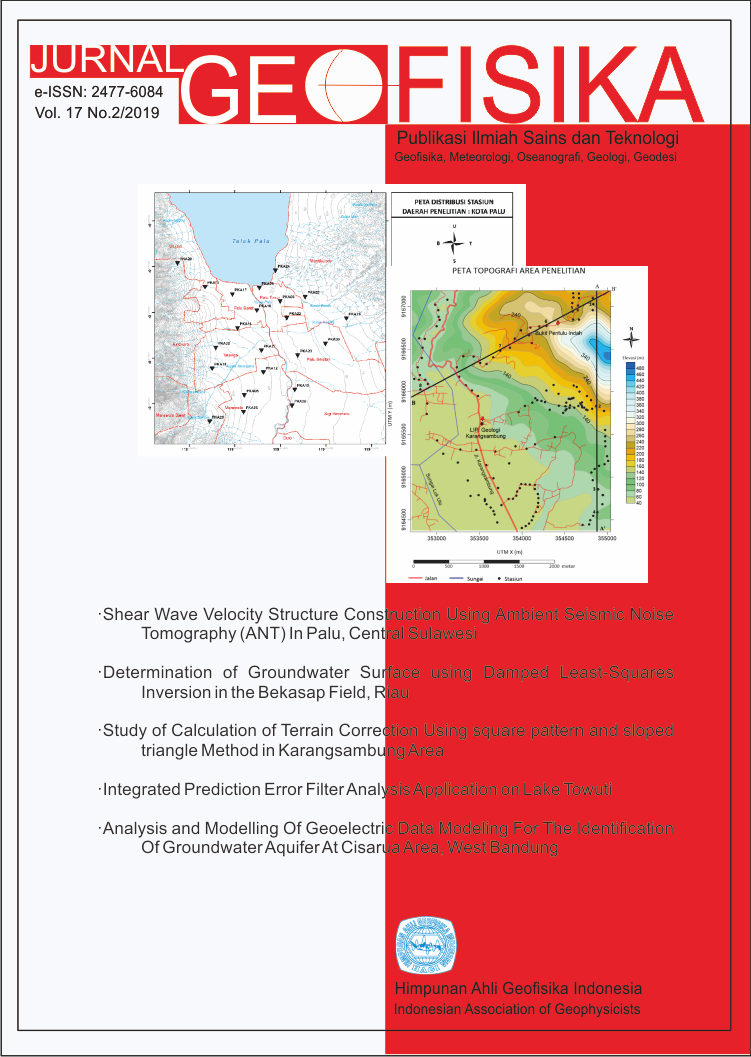
Study of Calculation of Terrain Correction Using square pattern and sloped triangle Method in Karangsambung Area
Keywords
Karangsambung, terrain correction, square pattern, sloped triangleAbstract
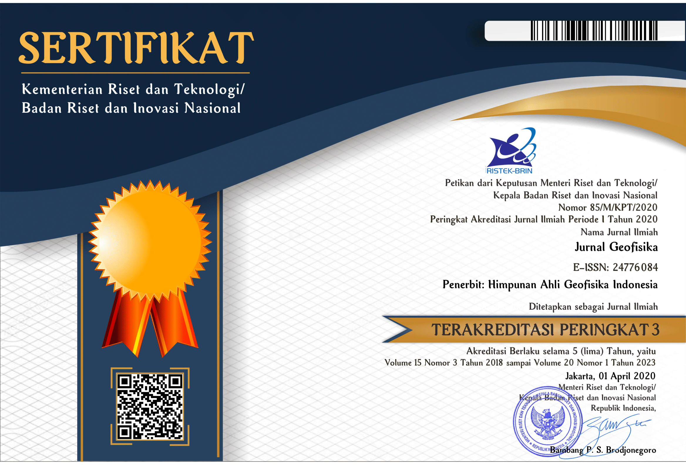
Conventional assessments of terrain correction are carried out by laying out transparent paper containing the Hammer chart on topographic maps, then estimating the elevation for each compartment. But this procedure has disadvantages, the number of compartments are too small for area with many topographic variations, and there is a subjectivity from the observer in estimating the compartments height. This research aim to overcome these problems and get more accurate terrain correction value. In this research, estimation of terrain correction carried out using square pattern and sloped triangle method. This method divides the area around the measurement point into a zone containing a square-shaped and triangle compartment. The research start with testing the program by using synthetic data to see the effect of rock bodies on terrain correction value. Then the program was applied to Karangsambung to see the topographic influence around Karangsambung on terrain correction. The program is then applied to gravity data, and the results are compared with calculations using the Hammer chart. Based on the synthetic data test, it was found that the value of terrain correction from a rock body measuring 10 x 10 km with a height difference of 1000 m from the station no longer significantly affects at the distance of 20 km. The topography around Karangsambung in the form of South Seraju Ranges with altitude of 1000 m at distance of 20 30 km gives effect of 0.05 mGal on terrain correction, while the Quaternary Volcano with an altitude of 3000 m at distance of 30 40 km gives effect of 0.1 mGal. The results of applying program at the gravity data show that the use of the square pattern method is able to correct errors from Hammer chart up to 3 mGal. The difference between the calculation of the two methods is getting bigger in the station located at slope area. It happens because estimation of the height difference in slope area is more difficult to do.
References
Bemmelen, V. R. W. (1949). The geology of Indonesia. Martinus Nyho, The Haque, Nederland, 28.
Kane, M. F. (1962). A comprehensive system of terrain correction using a digital computer. Geophysics, 27, 455-462.
Nagy, D. (1966). The prism method for terrain correction using digital computers. Pure and applied geophysics, 63, 31-39.
Almeida, F., Lourenco, M., Matias, M., dan Martins, A. (2018). A Matlab script to perform gravity terrain corrections using DEM-EU digital elevation model in a teaching lab. Proc. Conference & Exhibition Near Surface Geoscience 2018.
Plouff, D. (1976). Gravity and magnetic fields of polygonal prisms and application to magnetic terrain correction. Geophysics, 41, 727-741.
Hammer, S. (1939). Terrain corrections for gravimeter stations. Geophysics, 4, 184-194.

This work is licensed under a Creative Commons Attribution 4.0 International License.
The copyright of all articles belongs to the authors. All other copyrights is held by the Journal