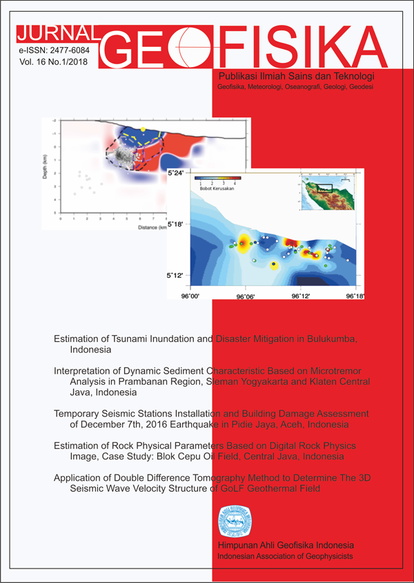
Estimation of Tsunami Inundation and Disaster Mitigation in Bulukumba, Indonesia
Keywords
Magnitude, Tsunami, Topography, Land function, InundationAbstract
The study aims to determine the potential of earthquake that could lead to tsunamis in the Flores Sea. Furthermore, based on the potential of earthquake magnitude, can be known high run-up of tsunami in the southern coastal region of Bulukumba regency. The height run-up of tsunami can show the vulnerability of tsunami impact and eects spatially based on the eect of land function in the southern coastal area of Bulukumba Regency. To plan an eective mitigation scenario in the southern coastal area of Bulukumba Regency can be based on the vulnerability of tsunami impacts and eects. This study uses secondary data consisting of three data. The condition of land function and the density of community infrastructure is obtained based
on RTRW data of Bulukumba District and Satellite Bing Maps image data; historical data of earthquake events in
the Flores Sea from 1927 to 2016 from the USGS site, and BMKG; as well as topographic data. Field check activity
on land function condition is done as a form of conformity of secondary data. The results showed that the potential of seismicity in the Flores Sea is high, with magnitude (M 7 SR) potentially causing tsunamis around it, not least Bulukumba Regency, South Sulawesi Province, Indonesia. The area of tsunami inundation in Bulukumba Regency is 13.617 km2. The coastal area of Ujungbulu sub-district is a dense residential area that has the highest risk to the tsunami with an estimated 3,331 km2 inundation. Land cover in Bontotiro sub-district dominated by vegetation with kerapatandengan interval distance of more than 3 m is seen able to reduce the tsunami with a height of 17 m and 25 m. Tsunami disaster mitigation scenario in Bulukumba regency is to make coastal area as conservation area of coastal forest (mangrove plant) that function as green belt of tsunami
wave holder.
References
Maximum Likelihood Estimate of b value in The Formula log N = a-bM and Its Confidence Limits . Bull. Earthq. Res. Inst. 43,237-240.
Berryman, K., 2006. Review of Tsunami Hazard and Risk in New Zealand. Lower Hutt : Institute of Geological and Nuclear Sciences.
Diposaptono, S., 2003. Mitigasi Bencana Alam di Wilayah Pesisir dalam Kerangka Pengelolaan Wilayah Pesisir Terpadu. Alami, Vol.8.
Diposaptono, S dan Budiman. 2006, Tsunami. Buku Ilmiah Populer, Jakarta.
Hamzah, L. Puspita, N.T. and Imamura, F., 2000, Tsunami Catalogue and Zones in Indonesia. Journal of Natural Disaster Service, 22, 1, 25-43, Hal : 39.
Iida, K., 1963. Magnitude, Energy, and Generation Mechanisms of Tsunami and A Catalogue of Earthquakes associated with Tsunamis, in Proceedings, Tsunami Meetings Associated with The Tenth Pacific Science Congress, pp. 7-10, Int. Union of Geod. And Geophys., Paris.
Latief, H., H. Sunendar, Yuhsananta. P, dan E. Riawan. 2006, Pemodelan dan 1Pemetaan Rendaman Tsunami serta Kajian Resiko Bencana Tsunami Kota Padang. PPKPL, ITB.
Permana, D., 2010, Analisis Pemodelan Inundasi Tsunami Terhadap Jenis Tutupan Lahan Di Kota Bengkulu. Tesis, Program Studi PascaSarjana Pengelolaan Sumberdaya Alam dan Lingkungan, Fakultas Pertanian, Universitas Bengkulu, Bengkulu.
Purbani, D., M.F. Boer, Marimin, I.W. Nurjaya dan F. Yulianda. 2013. Kemampuan Ekosistem Mangrove Dalam Mereduksi Tsunami di Teluk Loh Pria Laot Pulau Weh. Jurnal Segara Vol. 9 : 95-106.
Perda RTRW No. 21 Tahun 2012 Kabupaten Bulukumba Roorda van Eysinga, S., 1830. Journaal mijner re is van Batavia naar Makassar en de Moluksche Eilanden. In Verschillende Reizen En Lotgevallen, (Amsterdam: van der Hey), pp. 173 179 USGS, Probabilistic Seismic Hazard Analysis. http://earthquake.usgs.gov/ research/hazmaps/ product_data/
Yasid,M., 1999, Studi Seismotektonik Pulau Bali dan Sekitarnya Berdasarkan Relokasi Hiposenter dan Solusi Bidang Sesar. Tugas Akhir, Program Studi Geofisika, Jurusan Geofisika dan Meteorologi,Fakultas Matematika dan Ilmu Pengetahuan Alam, Institut Teknologi Bandung, Bandung.
Badan Pusat Statistik Kabupaten Bulukumba Tahun 2015 (https://bulukumbakab.bps.go.id)
www.globalcmt.org/CMTsearch.html diakses pada tanggal 7 Januari 2016

This work is licensed under a Creative Commons Attribution 4.0 International License.
The copyright of all articles belongs to the authors. All other copyrights is held by the Journal